

project coordinator
Professor Vladimír Sedlák is responsible for the project management and coordination, supervises the fulfillment of the tasks and activities in the individual activities of the project, communicates with the Hungarian partner (the main beneficiary of the grant) and other components of the state administration relevant implementation of the SK-HU cross-border cooperation program. Provides project administration, public procurement. It is responsible for fulfilling the tasks of stage project activities, monitoring reports and payment requests.
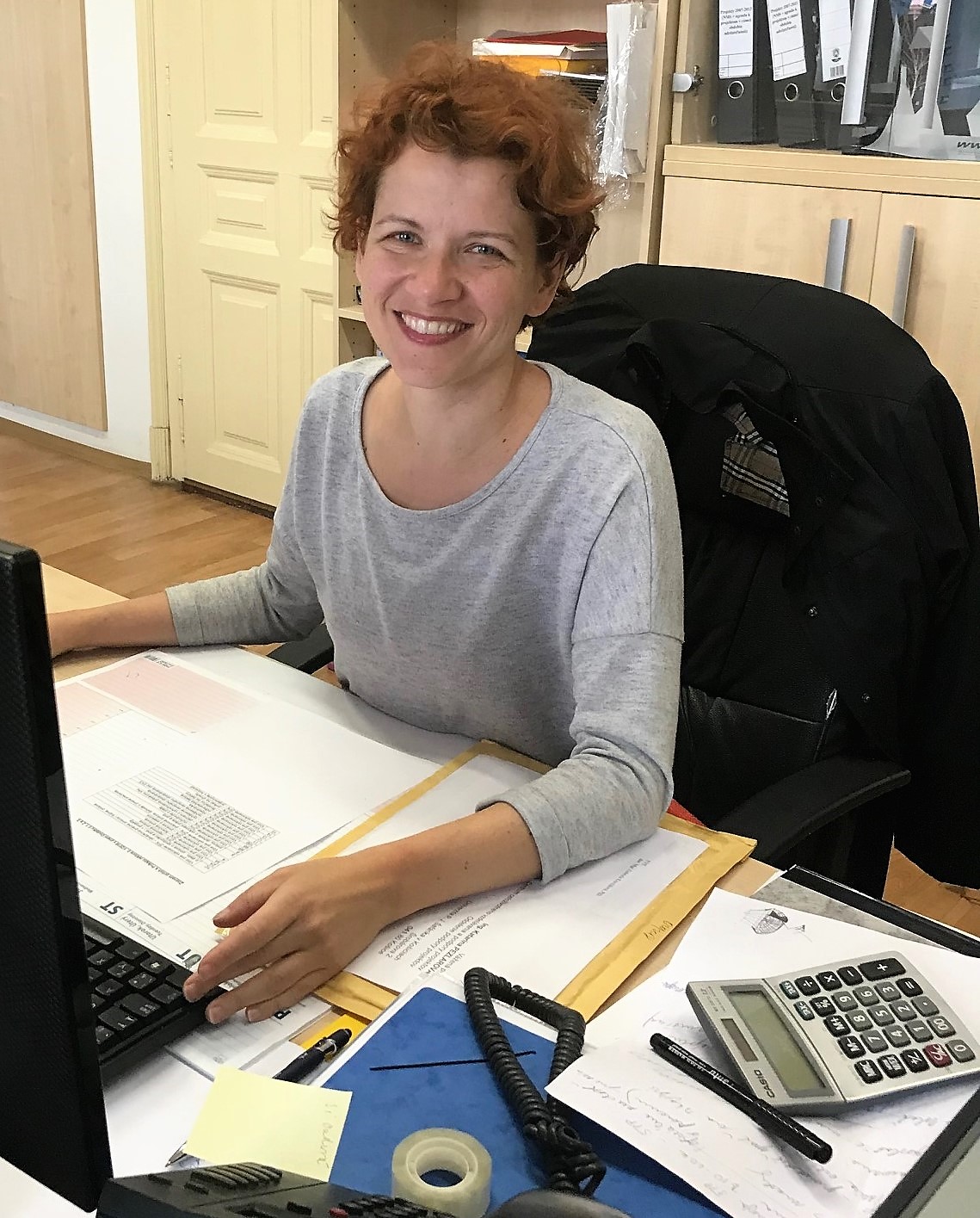
financial assistant
Katarína is responsible for all financial operations, records and checks financial documents, invoices and payments in connection with the project solution. Controls and coordinates the drawing of financial items in accordance with the project budget. It cooperates with the Financial Assistant of the Grant Beneficiary Leader and the State Administration Components with relevant implementation of the SK-HU cross-border cooperation program. Prepares documents for payment requests. Participates in the work team meetings of the team.
GIS operator
Jaroslav is responsible for data processing of terestrial laser scanning, in particular for their transformation and integration into the upcoming GIS portal and the preparation of documents for the web portal. Its activity is also to define the data structure and the GIS framework of the web portal. It is responsible for defining the data structure and elaborating a description of the data structure.
laser scanner operator
Ján is responsible for data acquisition by terrestrial laser scanning (TLS), preparation and management of field research. He is also responsible for field data collection, data layer creation according to a defined data structure.
GIS operator
Michal is responsible for data processing of terestrial laser scanning, in particular for their transformation and integration into the upcoming GIS portal and the preparation of documents for the web portal. He is also responsible for creating a common data nomenclature, proposing a specification for data procurement and securing data from freely available resources, preparing data for the web portal and participating in the creation of manuals.

human geography specialist
Janetta will be responsible for obtaining and processing statistical data and interpreting them. Prepares data for the web portal.

researcher
Loránt is responsible for obtaining and processing statistical data and interpreting it. Participates in the collection of data for the web portal and performs tasks assigned to the project coordinator. Participates in the work team meetings of the team.

laser scanner operator
Ján is responsible for data acquisition by terrestrial laser scanning (TLS), field research realization. He is responsible for the implementation of air missions in the Hungarian and Slovak Tokaj region during the summer school and during the remote sensing days. Data from remote sensing will be scanned across multiple spectral bands and will result, in particular, in orthophotomaps.
laser scanner operator
Jozef is responsible for data acquisition by terrestrial laser scanning (TLS), field research realization. He is responsible for the implementation of air missions in the Hungarian and Slovak Tokaj region during the summer school and during the remote sensing days. Data from remote sensing will be scanned across multiple spectral bands and will result, in particular, in orthophotomaps.